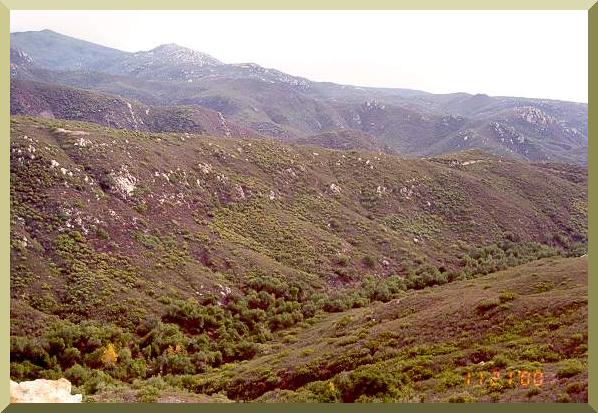
Arroyo Alamar originates in the United States with the name of Cottonwood Creek.
Cottonwood Creek flows to the South toward Mexico, and it is joined by several tributaries, among them, Kitchen, La Posta, Morena, Pine
Valley, and Campo-Tecate.
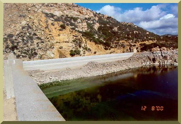
Morena and Barrett dams form part of the system of reservoirs of
the City of San Diego.
The City of San Diego operates Morena and Barrett Dams mainly for water supply purposes.
Therefore, the objective is to retain the greatest possible quantity of water.
The water levels of Morena Dam corresponding to the period
1912-2000 show a mean average monthly level (MeanAML) = 120.09 ft and a maximum average
monthly level (MaxAML) = 122.50 ft. These levels can be compared with the crest level, which is 157 ft.
The water levels of Barrett Dam corresponding to the period
1921-2000 show a mean average monthly level (MeanAML) = 115.42 ft and a maximum average monthly
level (MaxAML) = 121.60 ft. These levels can be compared with the crest level, which is 160.9 ft.
Cottonwood Creek flows downstream of Lake Barrett in a southwestern direction, toward Mexico.
After receiving the waters of Tecate Creek,
Cottonwood Creek changes its name to Tijuana river. However, as this river enters Mexican territory, it
again changes name to Arroyo Alamar.
The contributing watershed of Arroyo Alamar, in its confluence with the Tijuana river, is 1387 km2. Of this area, 86 percent is in California and 14 percent in Baja California.