THE SOURCE OF THE MISSOURI RIVER
Longest river in the USA

by  Victor M. Ponce


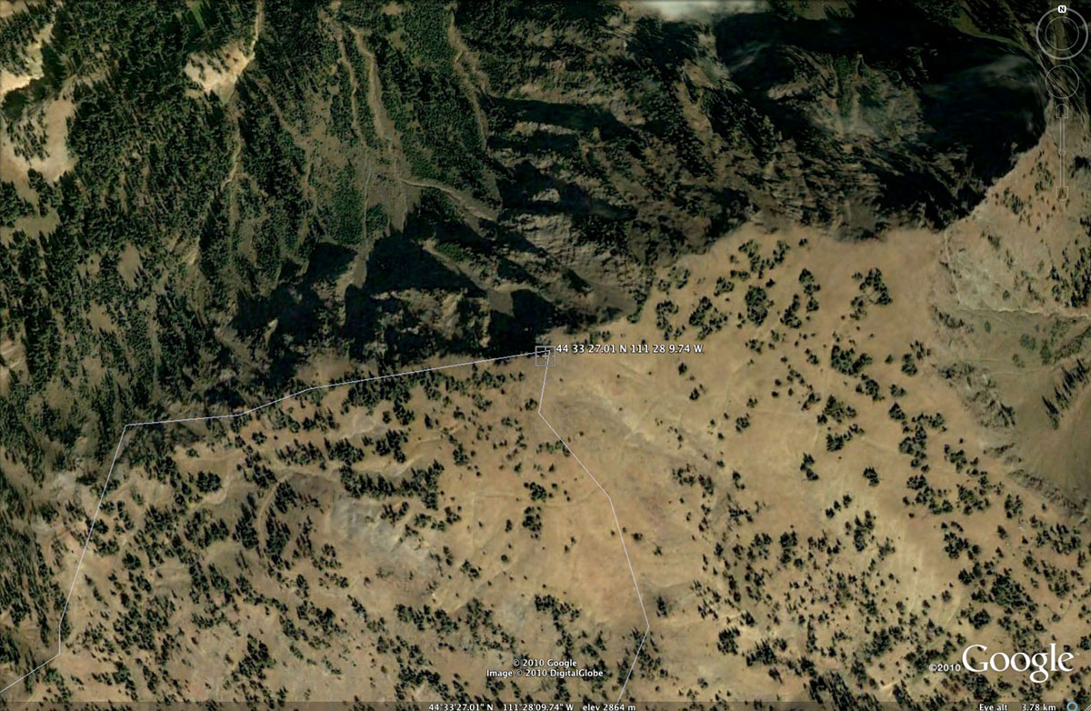
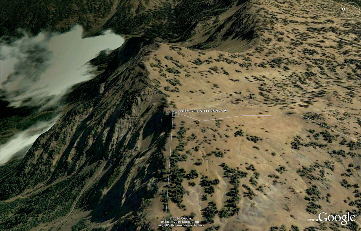
The source of the Missouri River, the longest river in the USA, is at coordinates 44o 33' 27.01" N and 111o 28' 9.74" W, and at elevation 2,864 m (9,396 ft) (Fig. 1), at the Continental Divide (Fig. 2), 
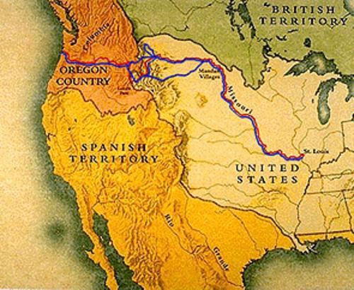
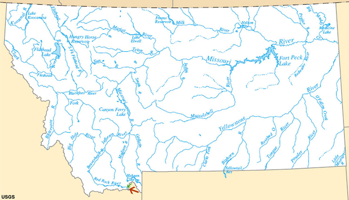
at the border between Montana and Idaho (Fig. 3), 
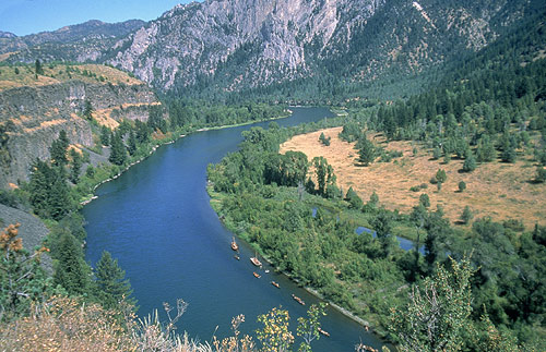
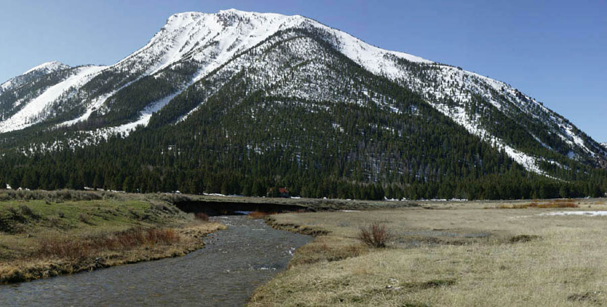
in the headwaters of Hell Roaring Creek (Fig. 4). The latter is 
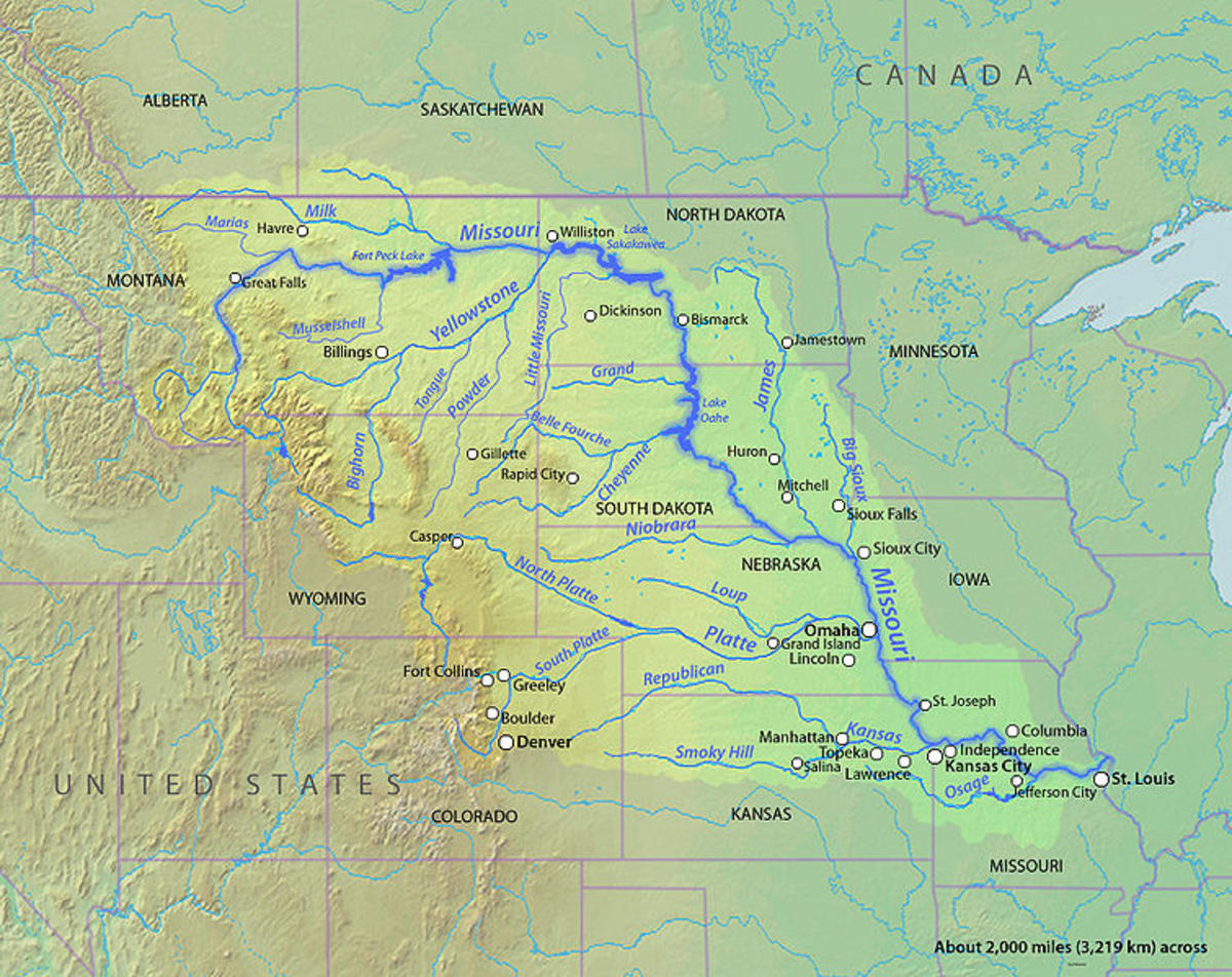
a tributary of the Red Rock River, a tributary of the Beaverhead River, a tributary of the Jefferson River, a tributary of the Missouri River (Fig. 5).

A stream/river source is the farthest point/location from where surface runoff collects to form the headwater stream.

Missouri River
Missouri River National Geographic Society
The combined length of the Missouri-Mississippi river system, from headwaters [of the Missouri river] in southern Montana, to the mouth of the Mississippi near New Orleans [Louisiana], is aproximately 6,267 km (3,895 mi), making it the world's fourth longest river system, after the Nile, the Amazon, and the Yangtze.

Orchard School, South Burlington, Vermont
Route of the Lewis and Clark Expedition
The Lewis and Clark expedition (1804-06)  ascended the Missouri river, from its mouth in St. Louis, Missouri,
to the Beaverhead river, in southwestern Montana (Fig. 3). 
Rather than follow the Red Rock river upstream, to reach the ultimate source of the Missouri,the expedition chose to travel west instead, crossing the Continental Divide at Lemhi Pass
The Lewis and Clark expedition (1804-06) ascended the Missouri river, from its mouth in St. Louis, Missouri, to the Beaverhead river, in southwestern Montana (Fig. 3). Rather than follow the Red Rock river upstream, to reach the ultimate source of the Missouri, the expedition chose to travel west instead, crossing the Continental Divide at Lemhi Pass.

Once west of the Continental Divide, the Lewis and Clark expedition descended the Lemhi and Salmon rivers, then traveled north by land through Nez Perce territory, eventually descending the Clearwater, Snake and Columbia rivers to reach the mouth of the latter at Astoria, Oregon, on November 7, 1805.

Charles Marion Russell 
Lewis and Clark on the Lower Columbia
Lewis and Clark on the Lower Columbia 


Aerial view of the source of the Missouri River, 
at 44 33' 27.01

Fig. 1  Aerial view of the source of the Missouri River, at 44o 33' 27.01" N and 111o 28' 9.74" W and 2,864 m elevation [Click on image to enlarge] (Google Earth).

Aerial perspective of the source of the Missouri River, looking toward the northeast, at 44 33' 27.01

Fig. 2  Aerial perspective of the source of the Missouri River, looking toward the northeast, at 44o 33' 27.01" N and 111o 28' 9.74" W and 2,864 m elevation [Click on image to enlarge] (Google Earth).

Rivers of the state of Montana, with the red arrow pinpointing the source of the Missouri River (U.S. Geological Survey)

Fig. 3  Rivers of the state of Montana, with the red arrow pinpointing the source of the Missouri River (U.S. Geological Survey).

Hell Roaring Creek, in Montana, at point of green arrow shown in Fig. 3

Fig. 4  Hell Roaring Creek, in Montana, at point of green arrow shown in Fig. 3 (Google Earth Panoramio).

Missouri river basin (Wikimedia Commons)

Fig. 5  Missouri river basin (Wikimedia Commons).
100718