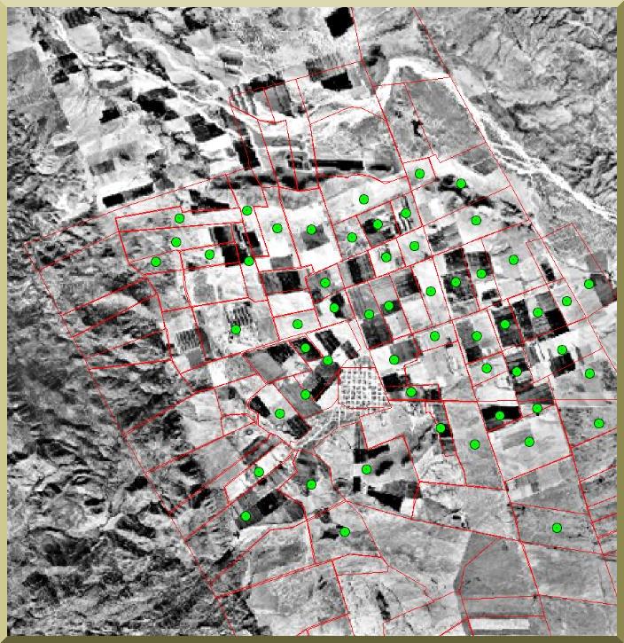
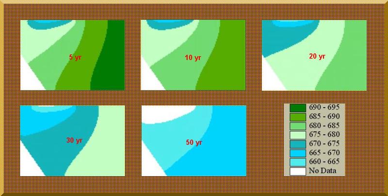
GROUNDWATER MODEL
-
A hydrogeologic model was developed specifically for this project.
-
The hydrogeologic model is a finite difference model of the two-dimensional diffusion equation of transient flow in porous media.
-
The boundary conditions are either Dirichlet (head specified) or Neumann (flux specified).
- The computational cell is a square of 100 m, for a total of 5,386 cells.
-
The model calculates the variation of the water table when it is presented with the appropriate initial and boundary conditions.
-
The model was calibrated with hydrogeologic data corresponding
to the period November 1995 - February 1997, obtained from Mexico's Comision Nacional del Agua
(National Water Commission).
|