|
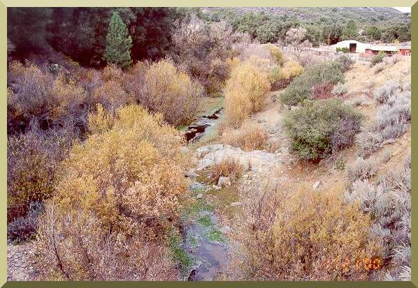
| Pine Valley Creek (30602) downstream of the bridge at Old Highway 80. |

|
| Pine Valley Creek (30602) downstream of the bridge at Old Highway 80. |
| Table C-1. Calculation of runoff curve number for Pine Valley Creek 2 lateral subbasin (topological number 30602).1 |
| Symbol | Ground cover/ land use | Hydrologic condition | Soil group | CN | No. of grid points | Partial CN |
| IP | Irrigated Pasture | good | A | 33 | ||
| B | 58 | |||||
| C | 72 | 1 | 0.396 | |||
| D | 79 | |||||
| AG | Annual Grass | good | A | 38 | 1 | 0.209 |
| B | 61 | 2 | 0.670 | |||
| C | 74 | 2 | 0.813 | |||
| D | 80 | |||||
| BC | Broadleaf Chaparral | good | A | 31 | ||
| B | 57 | |||||
| C | 71 | 1 | 0.390 | |||
| D | 78 | |||||
| NC | Narrowleaf Chaparral | fair | A | 55 | 10 | 3.022 |
| B | 72 | 2 | 0.791 | |||
| C | 81 | 53 | 23.588 | |||
| D | 86 | 66 | 31.187 | |||
| OB | Open Brush | good | A | 41 | 1 | 0.225 |
| B | 63 | |||||
| C | 75 | |||||
| D | 81 | |||||
| WO | Woodland | good | A | 28 | 25 | 3.846 |
| B | 55 | 4 | 1.209 | |||
| C | 70 | 7 | 2.692 | |||
| D | 77 | |||||
| WG | Woodland Grass | good | A | 33 | 1 | 0.181 |
| B | 58 | 2 | 0.637 | |||
| C | 72 | 1 | 0.396 | |||
| D | 79 | |||||
| ME | Meadow | good | A | 30 | ||
| B | 58 | 2 | 0.637 | |||
| C | 84 | |||||
| D | 78 | |||||
| PG | Perennial Grass | good | A | 38 | ||
| B | 61 | |||||
| C | 74 | 1 | 0.407 | |||
| D | 80 | |||||
| Total | 182 | 71 |
| 1 The method is explained in the Hydrology Manual of San Diego County (1985). |